Africa
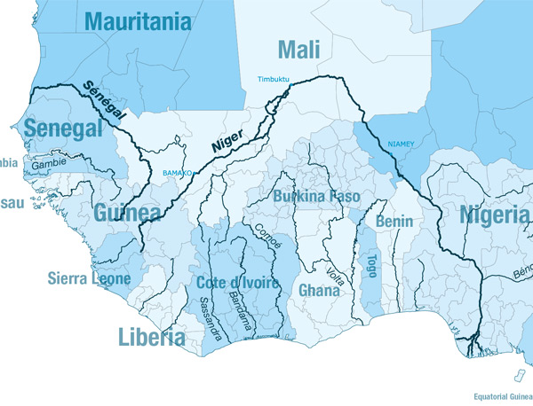
The Niger
Gallery
Length:
4200km only 3000 navigable
Navigability:
Not all during the year (Most of the time: from august until december)
Countries crossed:
Nigeria, Benin, Niger, Mali, Guinea, Sierra Leone
Inland navigation authority:
Autorité du bassin du Niger (Burkina, Benin, Cameroun, Ivoary Cost, Guinea, Mali, le Niger, Nigeria, Tchad) http://www.abn.ne/
Main goods transported:
Agriculture products, minerals, hydrocarbons
Facts of importance:
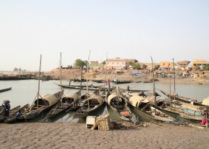
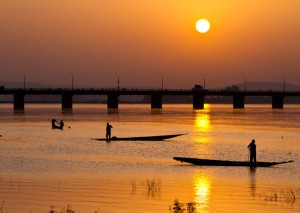
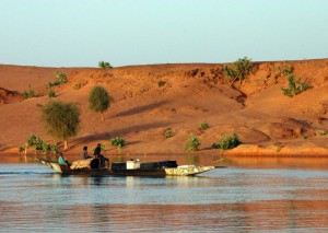
River Niger is the longest river in West Africa. Its navigable waters are a strategic axis for commerce. Although commercial travel routes have changed over time, efforts to link the landlocked segments with canals and land routes have provided access to the river’s resources to all.
There is great potential to develop the Niger Basin’s transportation network to expand access to markets and commerce, and to increase labor flows. This potential is not fully exploited and existing navigational segments are underutilized. There is a need to improve the transportation network to foster regional integration among and between the countries.
Main challenges for the future:
- -Funding for projects
- -Insecurity on the waterway
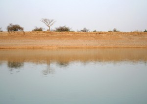
- -Issues of silting up of the river
- -Biodiversity threats
